Projects
Presently, the GNSS research program of the ROB comprises the following topics:
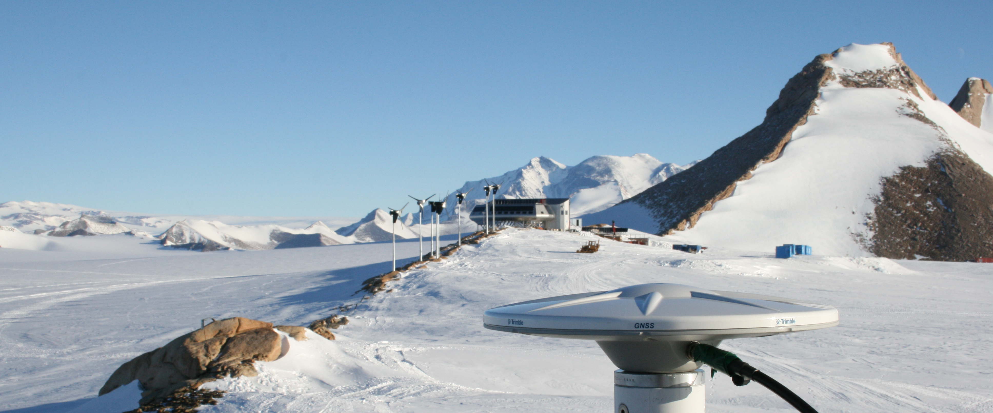
- Integration of Belgium in international GNSS observation networks. In order to achieve this goal, the ROB installed in Belgium a network of permanent GNSS stations. In addition to the processing of our own data, we also process the data originating from other Belgian GNSS stations and stations included in international GNSS networks.
- Determination of slow ground deformations using GNSS measurements (Study of local and regional tectonics)
- Study of the error sources affecting high-precision GNSS positioning.
- Study of the effect of the atmospheric (ionospheric and tropospheric) refraction on the GNSS signal propagation and the errors induced on the GNSS observations.
- Monitoring of the Earth's atmosphere (ionosphere and troposphere) using GNSS
- Integration of Belgium in the international network used for the realization of UTC (Universal Time Coordinated), using our atomic clocks linked to the network through GNSS measurements.
We participate to the following programs/projects:
EPOS:
The European Plate Observing System (EPOS) is a new European Research Infrastructure Consortium (ERIC) that integrates the data and services provided by more than 250 national agencies and pan-European infrastructures into one consolidated system in support of Solid Earth Science. EPOS is
multi-disciplinary and it gathers, amongst others, input from geodesy, geology, seismology, volcanology, and geomagnetism. The ambition of EPOS is to overcome the general difficulty researchers face when using this wide diversity of data, by providing a simple, 'one-stop shop' tool to browse, preview and/or select data, and then simply download the desired data or perform processing and modelling directly online.
Belgium is one of the founding members of the EPOS ERIC and the Belgian Science Policy Office (BELSPO) funds the upgrade of ROB's infrastructure that will contribute to EPOS.
EPOS is organized in Thematic Core Services (TCS), one for each scientific discipline. For example, the TCS 'GNSS data and products' will consist of a European network of more than 3000 GNSS stations and it will provide access to their GNSS data, metadata and products. In each TCS, selected Service Providers will provide the key services to EPOS.
EPOS' Integrated Core Services (ICS) will provide the so-called 'one-stop shop' tool.
From 2015 till 2019, several European agencies, one of them being ROB, implemented EPOS. This implementation was supported by the H2020 project EPOS-IP. From 2020 on, EPOS is running a pilot in preparation of providing full operational services. The EPOS Sustainability Phase (2020-2022), to which ROB also participates, will ensure the long-term provision of EPOS data and services. It is supported by the H2020 project EPOS SP.
ROB's GNSS team will provide services to the GNSS component of EPOS: it collects and validates the metadata of EPOS GNSS stations through its M3G system and will ensure the long-term monitoring of the data quality of the GNSS stations.
EUREF:
EUREF is the IAG (International Association of Geodesy) Reference Frame Sub-Commission for Europe and deals
with the definition, realization and maintenance of the European Reference Frame
- the geodetic infrastructure for multinational projects requiring precise geo-referencing -
in close cooperation with the IAG components (Services, Commissions, and
Inter-commission projects) and EuroGeographics, the consortium of the National Mapping Agencies
(NMA) in Europe. EUREF has been developing a set of activities related to the establishment
and maintenance of European Terrestrial Reference System (ETRS89) and
European Vertical Reference System (EVRS). A key instrument in maintaining ETRS89 is the
EUREF Permanent Network (EPN), a network of
continuous observing GNSS stations covering the European continent.
The GNSS team of ROB contributes to the EPN with four of its permanent GNSS stations. In addition, it hosts the Central Bureau of the EPN, maintains its historical data archive, operates one of the EPN data processing centers, and is reponsible for the computation of the official ETRS89 coordinates of the EPN stations.
International GNSS Service:
The International GNSS Service (IGS),
is a voluntary federation of more than 200 worldwide agencies that
pool resources and permanent GPS & GLONASS station data to generate precise
GPS & GLONASS products. The IGS is committed to providing the highest quality
data and products as the standard for GNSS
in support of Earth science research, multidisciplinary applications, and education.
You can think of the IGS as the highest-precision international civilian GPS community.
The GNSS team of ROB participates to the IGS with its GNSS reference station located at the ROB premisis and also
contributes to the IGS governance and development of its network infrastructure.
Solar Terrestrial Centre of Excellence:
The Solar-Terrestrial Center of Excellence
is a scientific project which aims to create an international expert
center for Solar and Solar-Terrestrial research and services.
The STCE clusters the know-how of three Belgian Federal institutes: Royal Observatory of
Belgium (ROB), Royal Meteorological Institute (RMI) and Belgian Institute for Space Aeronomy (BISA).
and aims
to study the relation between the Sun and the Earth.
The GNSS team of ROB participates to the STCE by maintaining a GNSS observation infrastructure and monitoring the Earth's troposphere and ionosphere.
EUMETNET - E-GVAP:
The EUMETNET GPS water VApour Program (E-GVAP) is a program running under the aegis of the European Network of Meteorological Service (EUMETNET). This project has been setup to collect near real-time (NRT) ground-based GNSS tropospheric delay and water vapour estimates on the European scale. This information is provided this information to EUMETNET partners for operational meteorology. The ultimate goal of the project is to improve weather forecasts. This is achieved in close collaboration with the geodetic community who operate the 11 analysis centres that provides the NRT tropospheric delay estimates. ROB is one of these GNSS analysis centres. This is done in close collaboration with the geodetic community in Europe.
TAI/UTC:
The basis of the legal time in the world is UTC, the Universal Time Coordinated. It is computed by the BIPM from a weighted average of atomic clocks distributed around the world; five of these clocks are located in the time laboratory of the ROB. The clocks of the different laboratories are compared using GNSS. The research developed at the ROB aims to improve the precision of this comparsion technique in order to be able to compare the most precise atomic clocks in the world. The ROB also provides for Belgium a realization of UTC, named UTC(ORB), which is therefore the most precise time for Belgium and which is disseminated via the Internet (NTP).